The LaserTilt90 can be used to measure and monitor settlement from a reference point or to infer vertical settlement at the tunnel crown
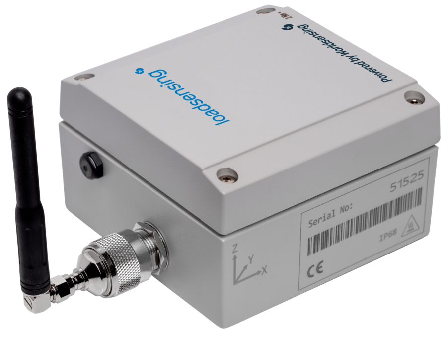
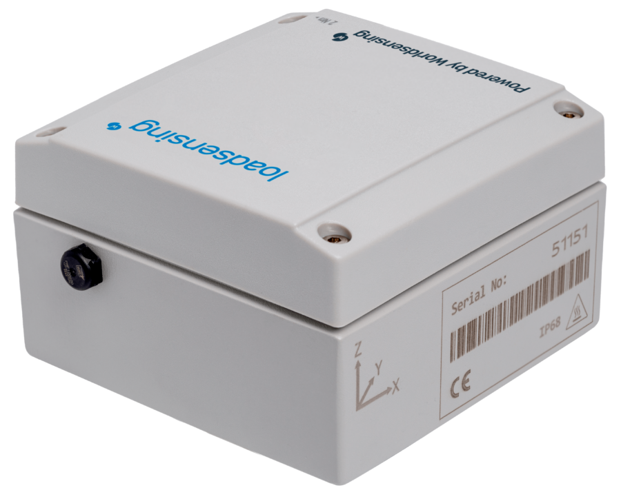
The LaserTilt90 can be used to measure and monitor settlement from a reference point or to infer vertical settlement at the tunnel crown, tunnel and mining convergence, bearing and expansion joint movements, displacement in structures and buildings, deformations in underground excavations, slope movements, fracture and faults surveillance.
A wireless laser distance meter, inclinometer and data logger
*Please click "Download Brochure" for complete information regarding Prices and Stock.
| Sensor | 5 MP CMOS |
|---|---|
| Resolution: Temperature | 0.1 oC (0.2 oF) |
| Field of View (hz, v) |
15.5° x 11.7° 19.4° diagonal |
| Magnification/zoom | 8x zoom |
| Live View Update Rate | 20 Hz |
| Focus | Fix focus 2 m to infinity |
| Sensor Pixel-Angle Relationship | One pixel corresponds to 67 cc |
| Display Resolution | WVGA |